Nw Gainesville Rd, OCALA, FL 34475
Property Photos
Would you like to sell your home before you purchase this one?
Priced at Only: $1,141,200
For more Information Call:
Address: Nw Gainesville Rd, OCALA, FL 34475
Property Location and Similar Properties
- MLS#: G5080462 ( Land )
- Street Address: Nw Gainesville Rd
- Viewed: 46
- Price: $1,141,200
- Price sqft: $0
- Waterfront: No
- Year Built: Not Available
- Bldg sqft: 0
- Days On Market: 275
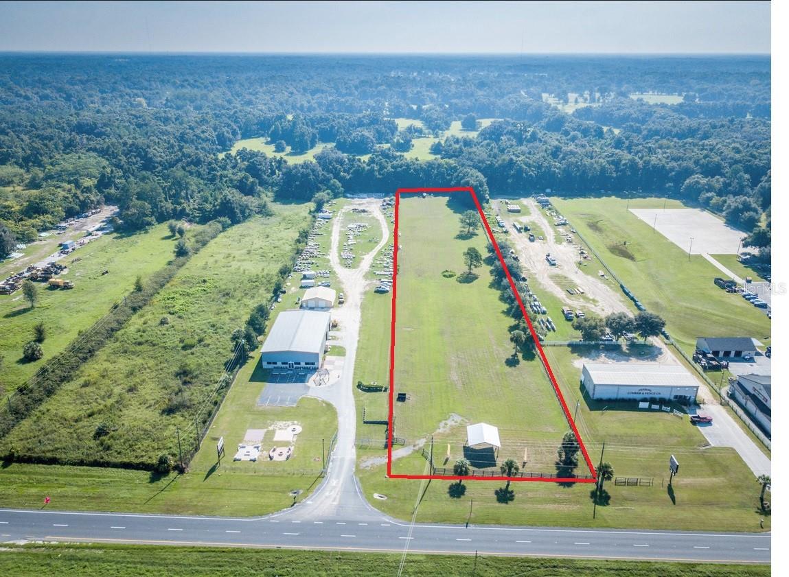
- Acreage: 25.36 acres
- Additional Information
- Geolocation: 29.2977 / -82.1927
- County: MARION
- City: OCALA
- Zipcode: 34475
- Provided by: RE/MAX PREMIER REALTY LADY LK
- Contact: Thomas Oldenborg
- 352-753-2029

- DMCA Notice
-
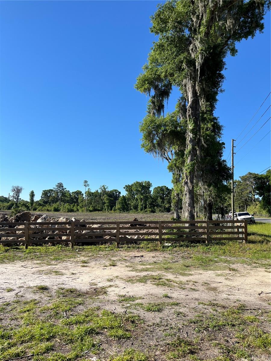
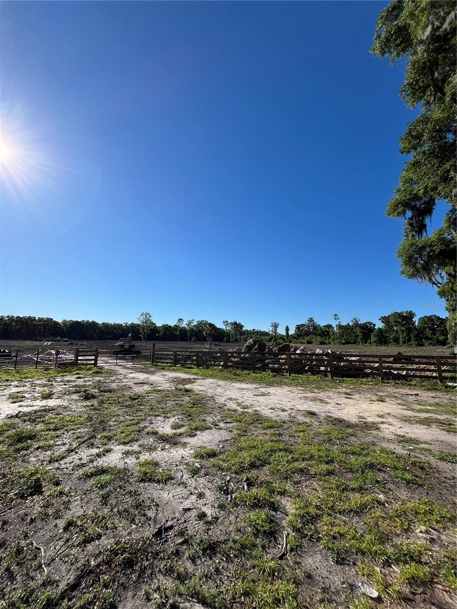
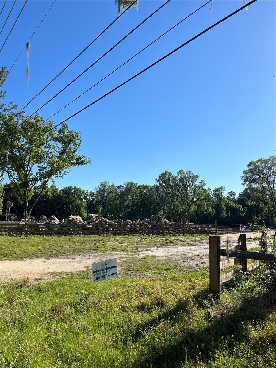
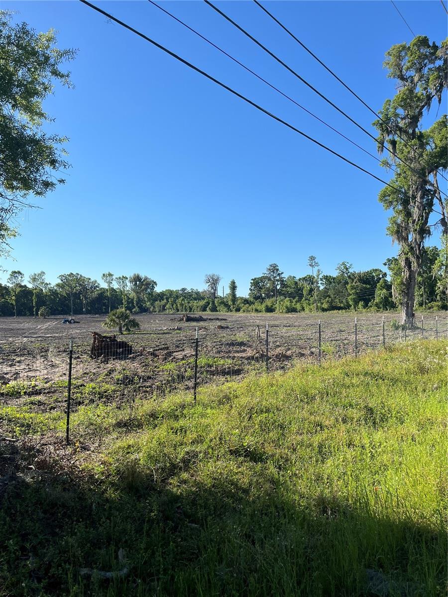
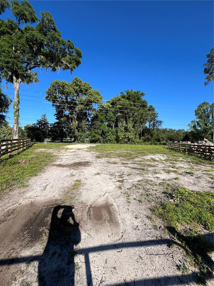
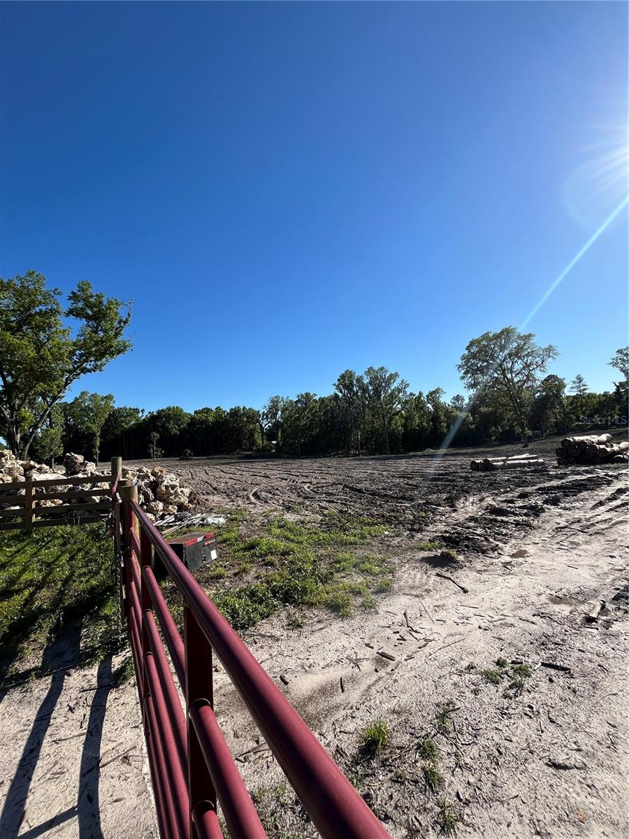
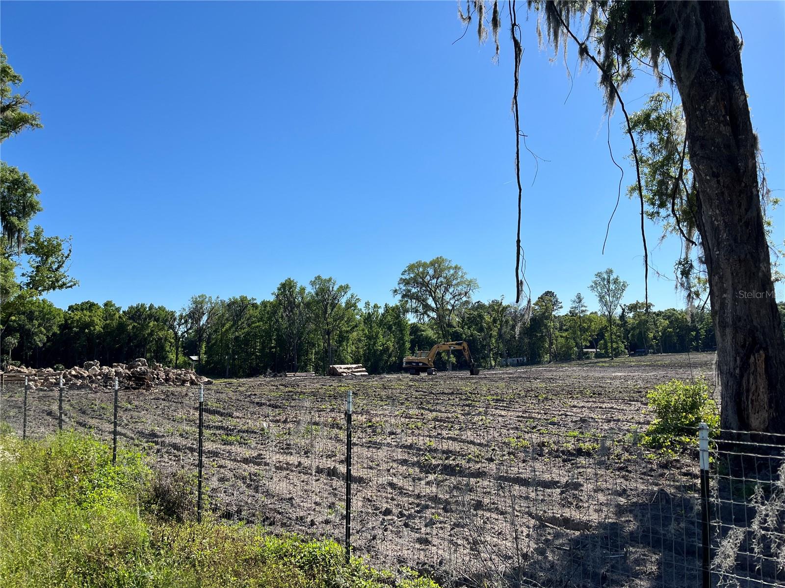
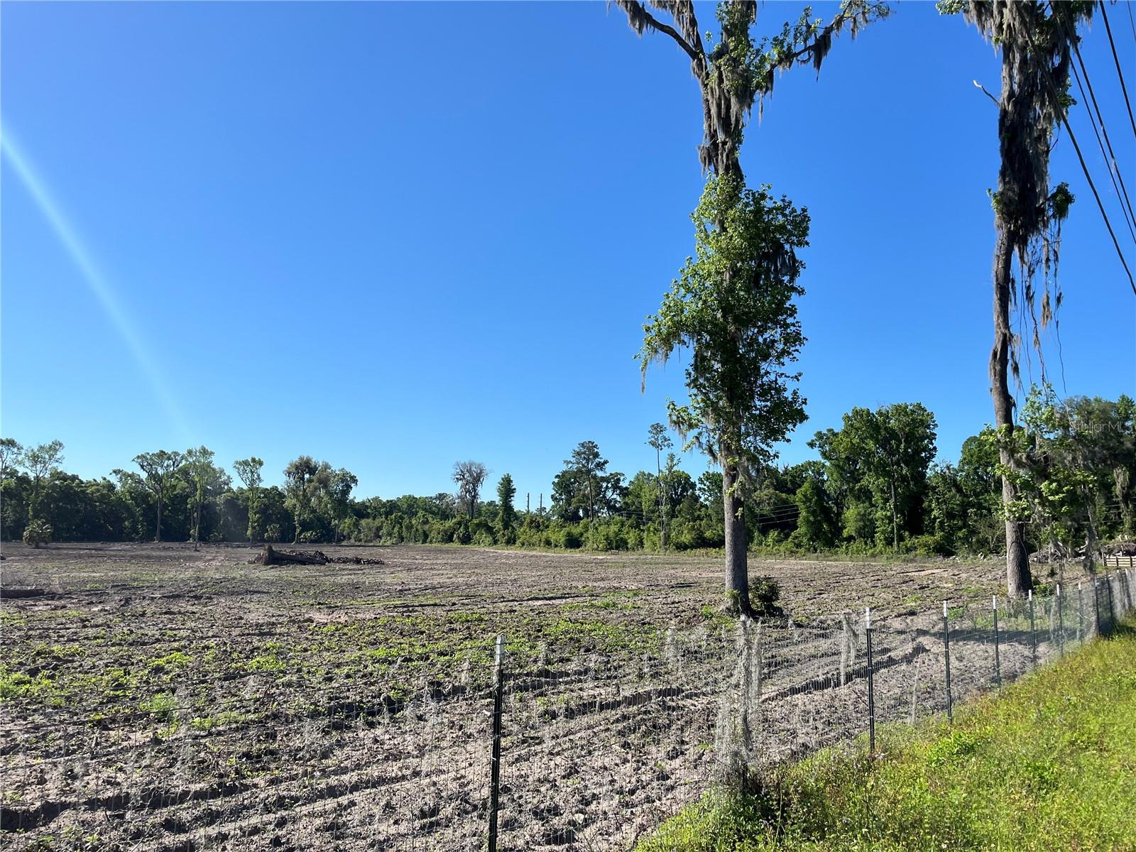
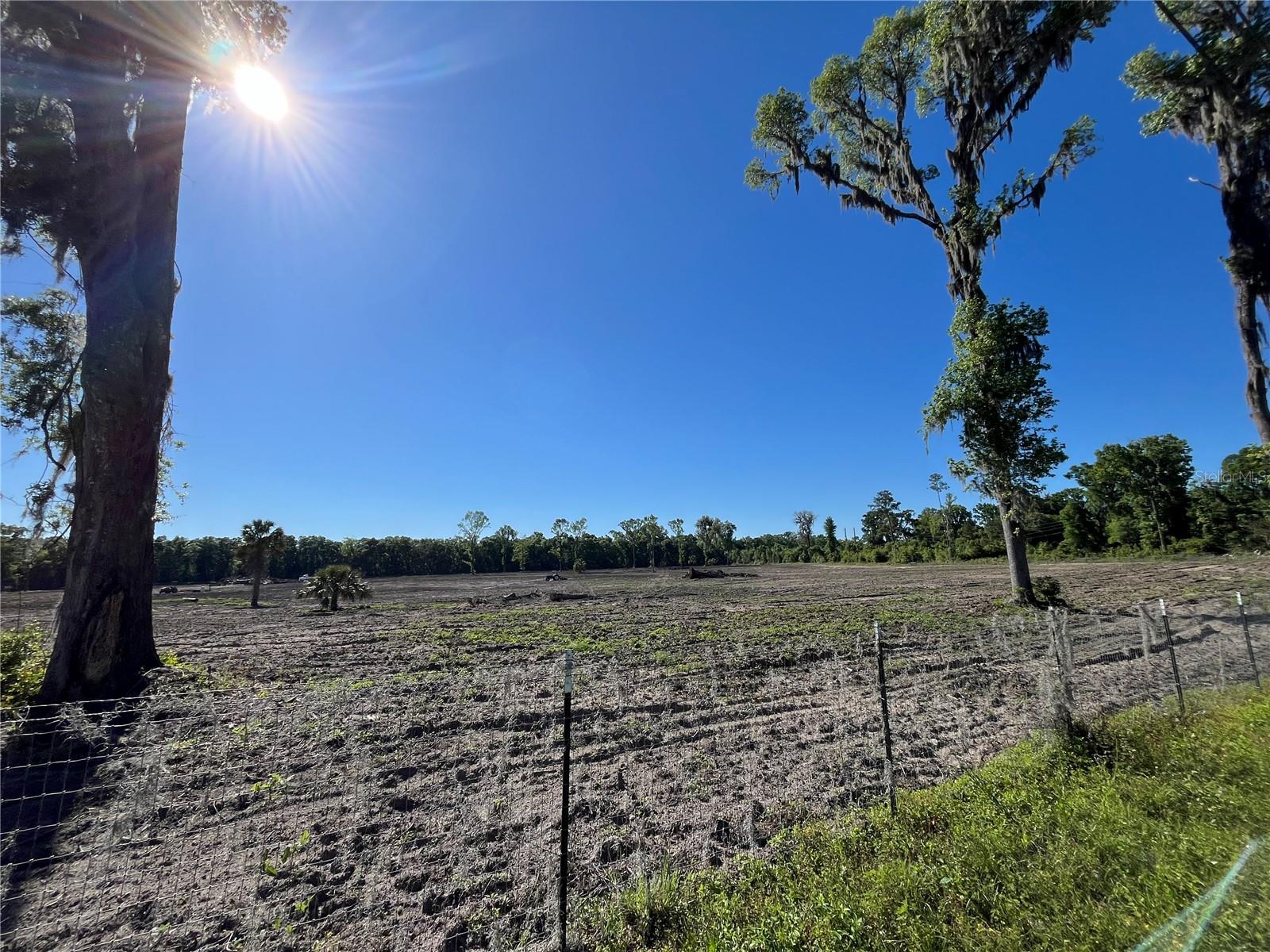
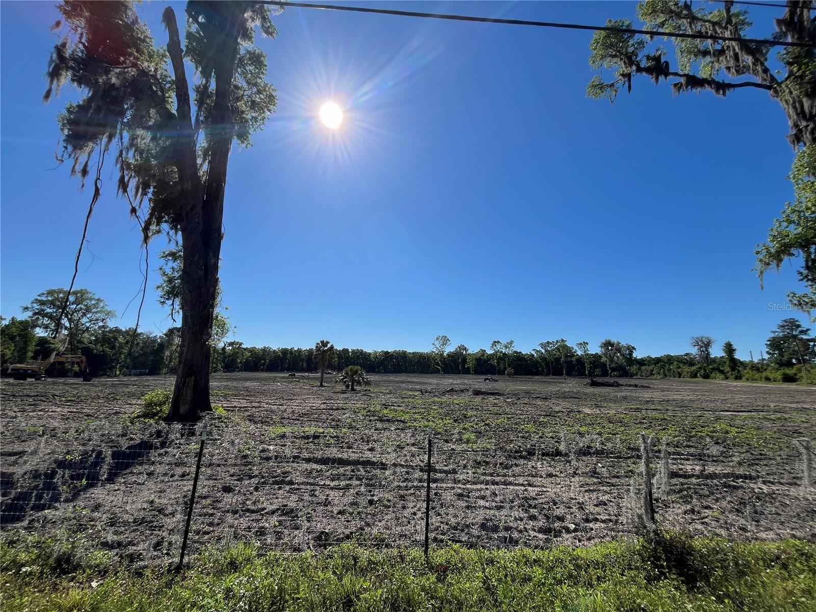
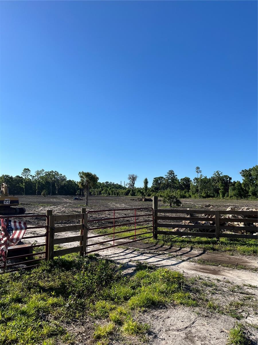
DescriptionNice location for 25.36 acres of Ag land on Gainesville Rd. Quiet neighborhood in a country setting but within minutes to downtown Ocala. Close to I 75 and Highway 301. Property has been cleared, graded, hydro seeded, with new entrance fencing. New well and power is at the gate. Great site for single family, estate, ranch, farm, equestrian facility. Neighboring Equestrian Springs equine subdivision.
Payment Calculator
- Principal & Interest -
- Property Tax $
- Home Insurance $
- HOA Fees $
- Monthly -
Features
Building and Construction
- Covered Spaces: 0.00
- Living Area: 0.00
Land Information
- Lot Features: Cleared
Garage and Parking
- Garage Spaces: 0.00
Eco-Communities
- Water Source: Well
Utilities
- Carport Spaces: 0.00
- Road Frontage Type: County Road
- Sewer: None
- Utilities: Utility Pole, Water Available
Finance and Tax Information
- Home Owners Association Fee: 0.00
- Net Operating Income: 0.00
- Tax Year: 2023
Other Features
- Country: US
- Current Use: Agricultural
- Legal Description: SEC 34 TWP 13 RGE 21 PLAT BOOK A PAGE 087 A PT OF MARTINS LAND BEING MORE PARTICULALRY DESC AS: COM AT THE SW COR OF SEC 3 TH S 89-16-41 E 2643.85 FT TH S 89-58-26 E 77.22 FT TO THE POB TH N 00-22-20 E 348.19 FT TH N 89-19-46 W 706.88 FT TH N 06-52-2 0 W 621.45 FT TO THE POC OF A CURVE CONCAVE WLY HAVING A RADIUS OF 2924.72 FT A CENTRAL ANGLE OF 08-47-24 A CHORD BEARING & DISTANCE OF N 11-16-02 W 448.26 FT TH NLY ALONG ARC OF CURVE 448.70 FT TH S 82-24-34 E 1028.12 FT TH S 08-58-23 E 590.10 FT T O THE POC OF A CURVE CONCAVE ELY HAVING A RADIUS OF 5762.70 FT A CENTRAL ANGLE OF 07-04-41 A CHORD BEARING & DISTANCE OF S 12-30-44 E 711.45 FT TH SLY ALONG ARC OF CURVE 711.91 FT TH N 89-58-26 W 398.77 FT TO THE POB
- Area Major: 34475 - Ocala
- Parcel Number: 07399-083-05
- View: Trees/Woods
- Views: 46
- Zoning Code: A1
Similar Properties

- Dawn Morgan, AHWD,Broker,CIPS
- Mobile: 352.454.2363
- 352.454.2363
- dawnsellsocala@gmail.com


